15-Apr-2015
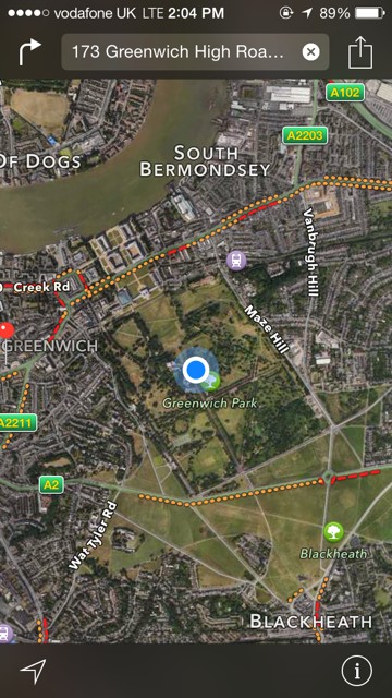
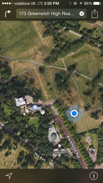
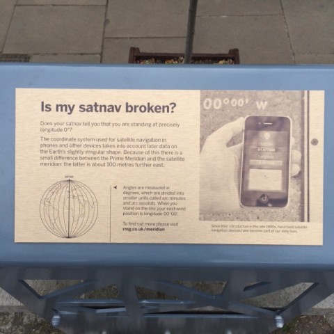
Walk about 100 meters east of the Observatory's meridian line. Slow down to a crawl as your GPS approaches 0 degrees, 0 minutes, 0 seconds longitude. There's no sign and no line on the ground.
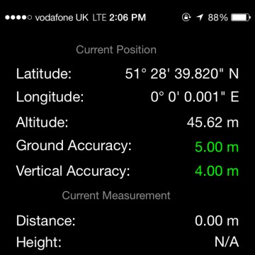
Here at latitude 51.5° and given an Earth circumference of roughly 40,000 km — one degree of longitude is 69 km (one minute of longitude is 1150 m, one second of longitude is 20 m) so it's easy to get an iPhone screen shot showing 0° 0' 0". However 0.001" (milliarcsecond) of longitude is only about 2 cm so if you want zeros in your decimal places you have to work for it.
This means walking around or moving your phone watching the numbers get closer and closer to zero, wandering between East and West. Soon you remember that the GPS receiver in an iPhone is not accurate at the 1 cm or even 1 meter level, so to get the magic "lots of zeros" screen-shot you just wait until you see that number and click before it changes.
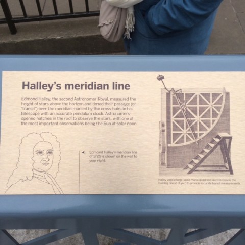
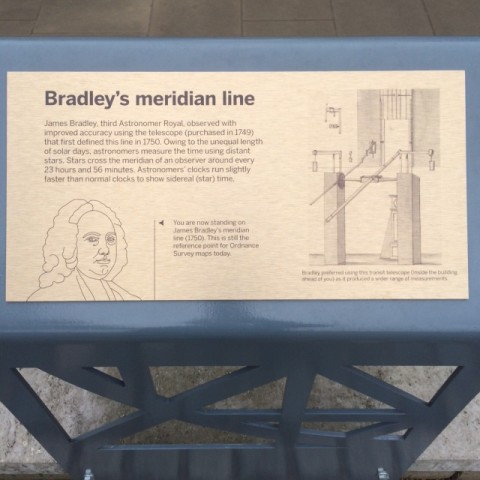
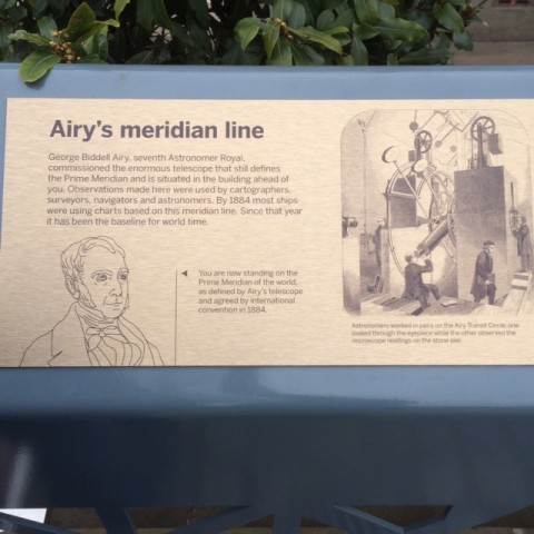
The meridian line is prominently marked on the ground and a big draw for tourists. There are also signs which give details about multiple meridians, including the fact that today's WGS-84 coordinate system puts the line about 100 meters east of the observatory.
From the abstract:
In 1884, the International Meridian Conference recommended that the prime meridian to be employed as a common zero of longitude and standard of time-reckoning throughout the globe pass through the centre of the transit instrument at the Observatory of Greenwich. Today, tourists visiting its meridian line must walk east approximately 102 m before their satellite-navigation receivers indicate zero longitude. This offset can be accounted for by the difference between astronomical and geodetic coordinates—deflection of the vertical—in the east–west direction at Greenwich, and the imposed condition of continuity in astronomical time. The coordinates of satellite-navigation receivers are provided in reference frames that are related to the geocentric reference frame introduced by the Bureau International de lHeure (BIH) in 1984. This BIH Terrestrial System provided the basis for orientation of subsequent geocentric reference frames, including all realizations of the World Geodetic System 1984 and the International Terrestrial Reference Frame. Despite the lateral offset of the original and current zero-longitude lines at Greenwich, the orientation of the meridian plane used to measure Universal Time has remained essentially unchanged.